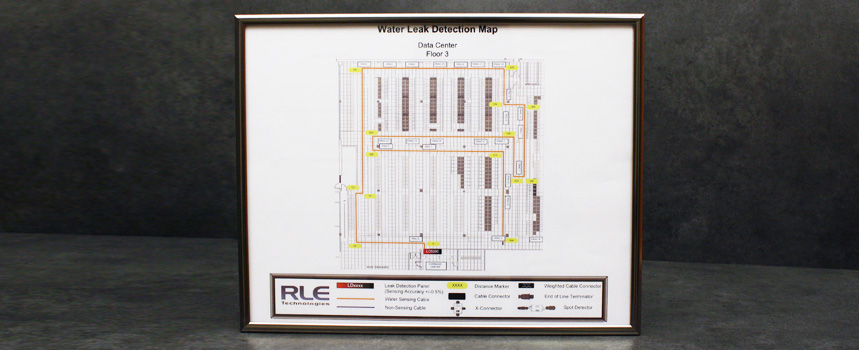
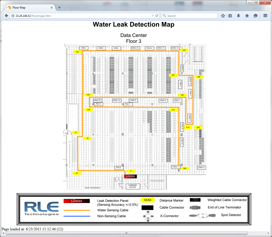
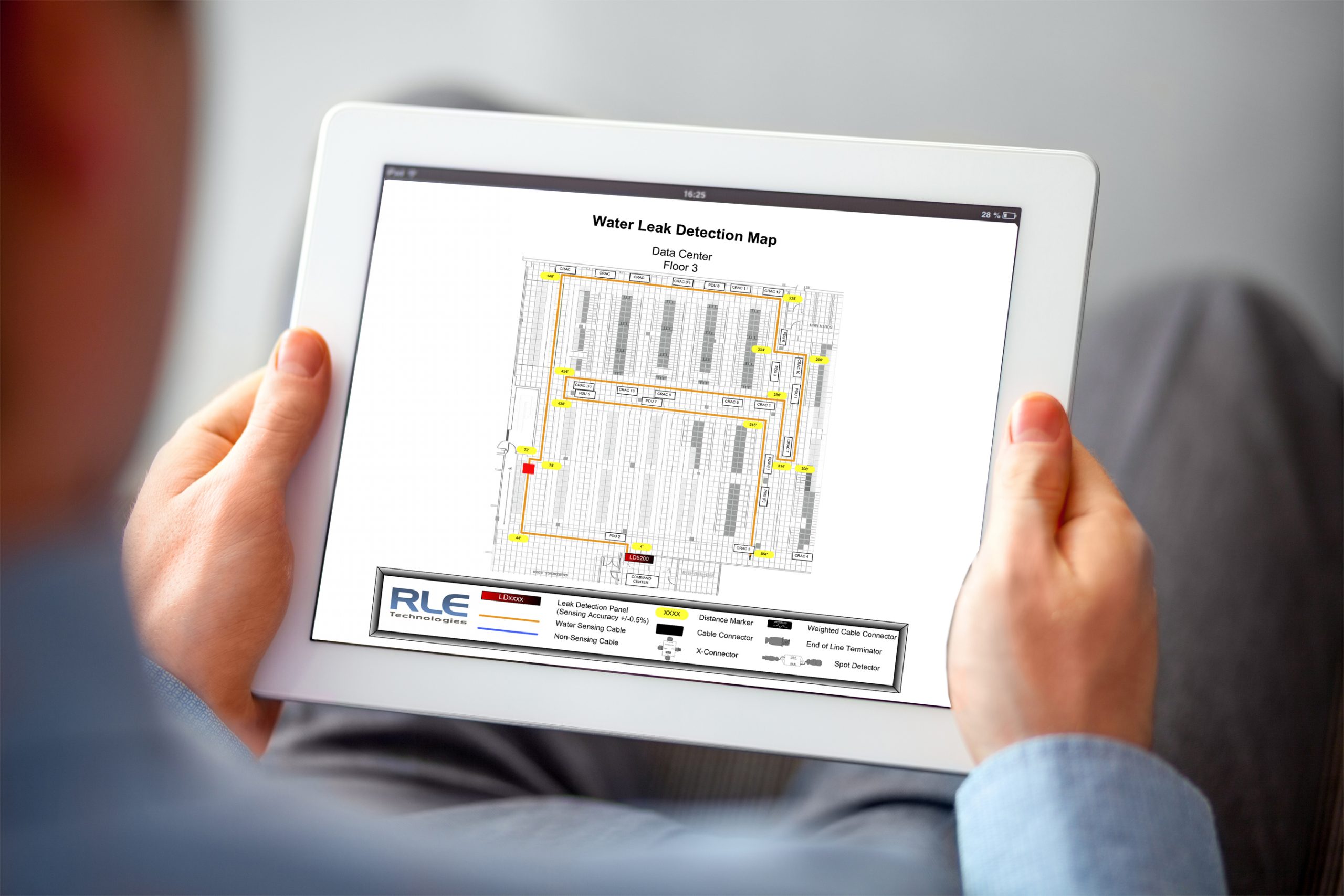
Used in conjunction with a SeaHawk distance read controller, a reference map allows users to cross-reference the distance to a leak, as displayed on their controller, with an actual physical location on a floor plan map. This 11-inch x 14-inch (28cm x 37cm) framed map helps identify the precise location of a leak.
How Is Each Map Customized?
The FM1114 framed reference map should be purchased with a leak detection system. We will ship you a frame that includes an example of a typical reference map. Once your leak detection installation is complete, use this map as a guide and create a detailed sketch of both your facility and your installed leak detection system.
Mail your sketch to RLE and we’ll convert your sketch into a polished computerized drawing. When the map has been completed and approved we’ll mail you a high-quality printout of the map that you can then insert into your frame. Hang the map on the wall next to your SeaHawk distance read controller.
We’ll also email you .pdf and .jpg versions of the reference map. The .pdf is for your files and the .jpg is ready to be uploaded into your leak detection controller, so you can complete the integrated online mapping portion of your system install (available with our LD5200 and LD2100 leak detection controllers).
Framed Reference Map (FM1114) Policy
The FM1114 is considered a custom product. Once the frame with mapping instructions has been shipped the order cannot be cancelled and returns will not be accepted.
RLE will fulfill orders for the FM1114 with a physical frame with a printed copy of the RLE ‘Sample Floor Map and Instructions’. These instructions detail the information that needs to be provided to RLE prior to RLE creating the Reference Map. The instructions can also be found on RLE’s website.
Upon receiving complete mapping instructions, RLE will create the reference map. If the mapping instructions are incomplete RLE will request the additionally required instructions needed to complete the map. Within 10 days of RLE receiving all needed information RLE will provide an electronic copy (.pdf) of the completed map for approval.
No maps will be sent without first being approved.
Once the map is approved:
- Two soft copies (.pdf and .jpg) on a USB drive and two printed copies and will be shipped to the “ship to” address that was listed on the original purchase order.
- The order will be closed as “completed”. Once completed, requests for additional changes can be accommodated only after RLE first receives a new purchase order.
If the mapping instructions are not received and the map is not approved within 12 months of the PO date the order will be closed. A request for the map after the order has been closed can be accommodated only after RLE first receives a new purchase order.


